In January 2012, Stairway to Heaven hike was the first hike I did in the UAE after living in the country for nearly 4 years. All I knew of the hike at this point, was the scary stories that circulated around camp fires.
The plan was to ascend via the famous staircase route, that starts on the UAE side of the mountain and ends on the Omani side. Set camp on the famous plateau overlooking Ras Al Khaimah port and the sea, then traverse to the opposing mountain, and descend from Jabal Al Jais the following day.
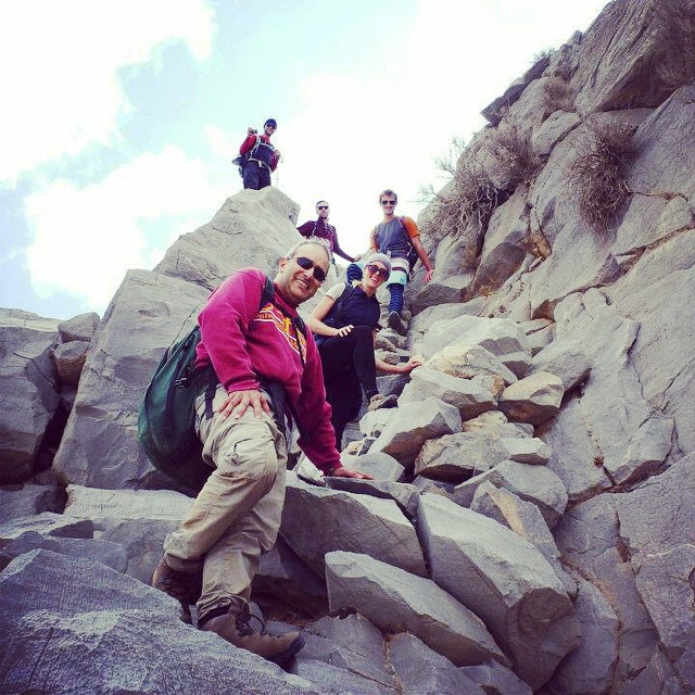
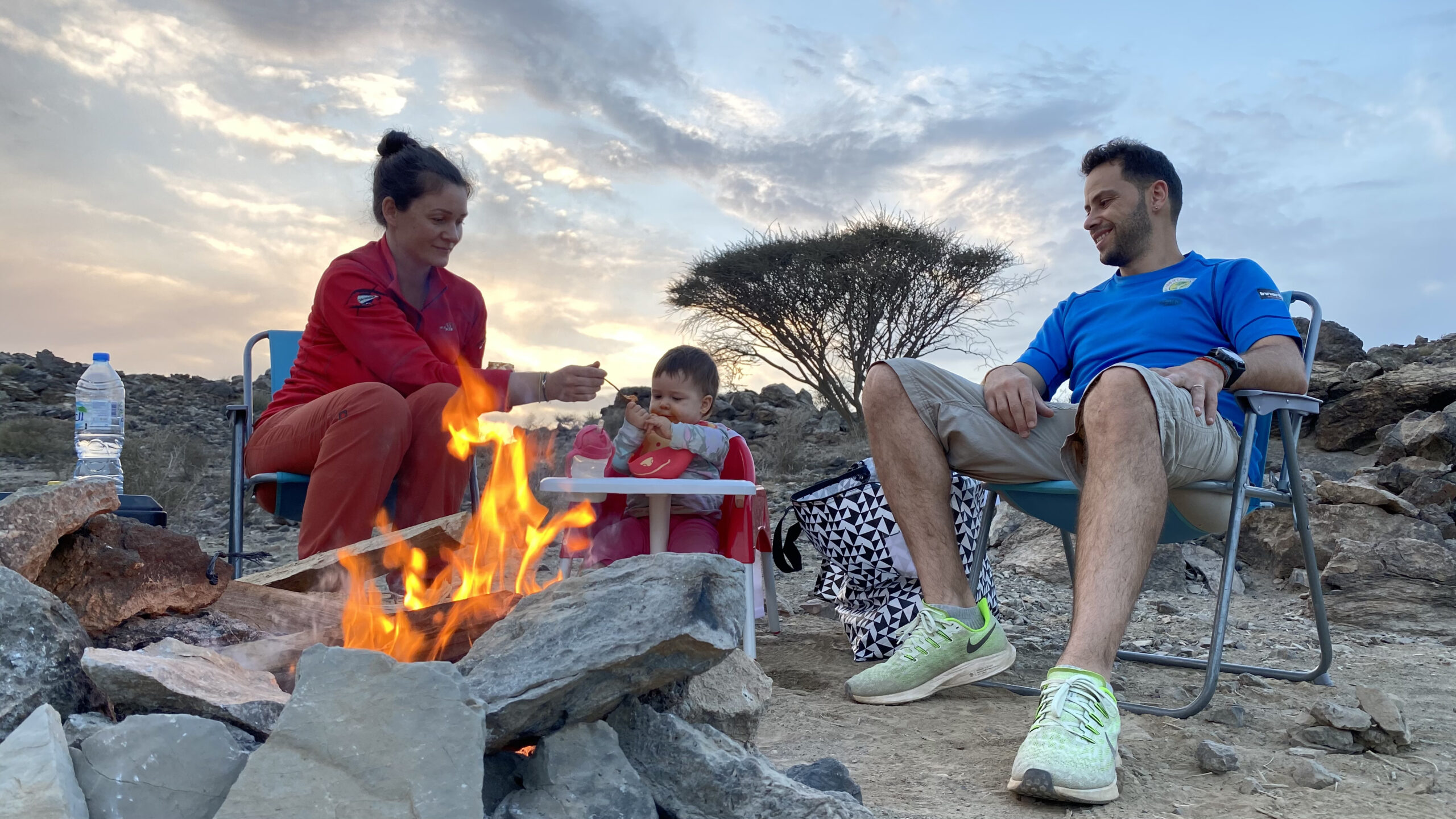
Long story short, without a topo, guide, nor previous knowledge of the route, we set off and made it to the top. Setup camp, and a fire, cooked dinner, and called it a night.
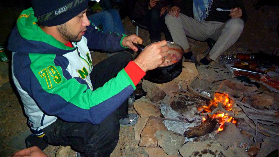
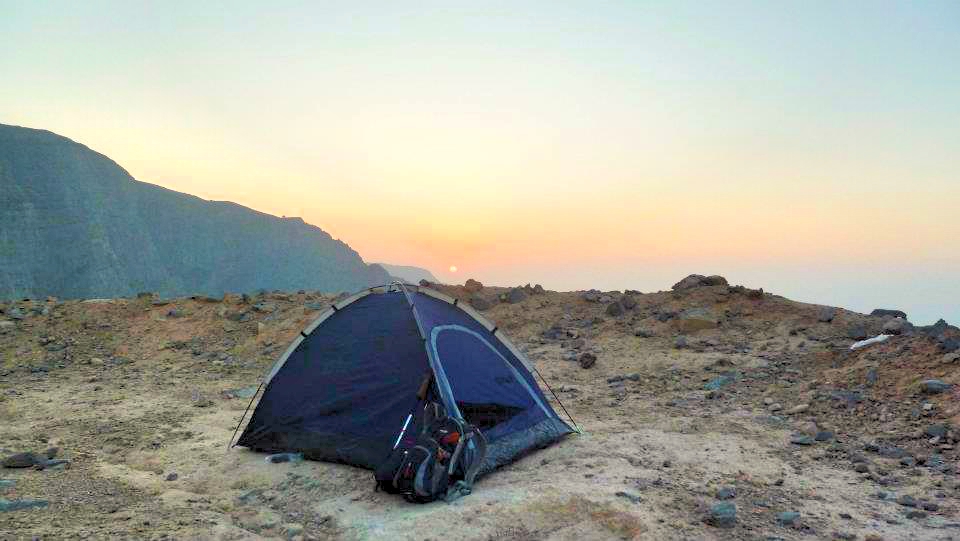
Well, I never really got to call it a night… Soon after I settled into my tent the wind picked up. Until then I didn’t realize how powerfully the wind could blast over the plateau – and pitching my tent close to the edge of this plateau was definitely not one of my wisest choices! Soon enough the wind started moving my tent slowly towards the edge…
Doesn’t it sound crazy enough?
Think of it this way: you are in a tent pitched on an edge of a mountain overlooking few hundred meter of free drop, and this tent is slowly shifting towards the edge. What ideas would come to your mind? I had silly visions of this tent floating over the edge and carrying me safely down to the ground. Reality quickly sank in, and I had to escape from the tent before it was too late. I did not want to leave my belongings behind so the only thing that came to mind was to hold the poles from the inside, bring the tent down and crawl out of it so it didn’t fly away once I got out. I felt somewhat heroic and a huge feeling relief as the plan worked out perfectly, and I made it through the night without getting blown off the edge.
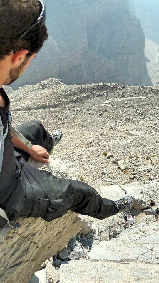
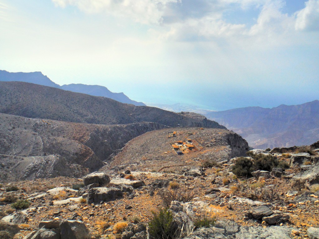
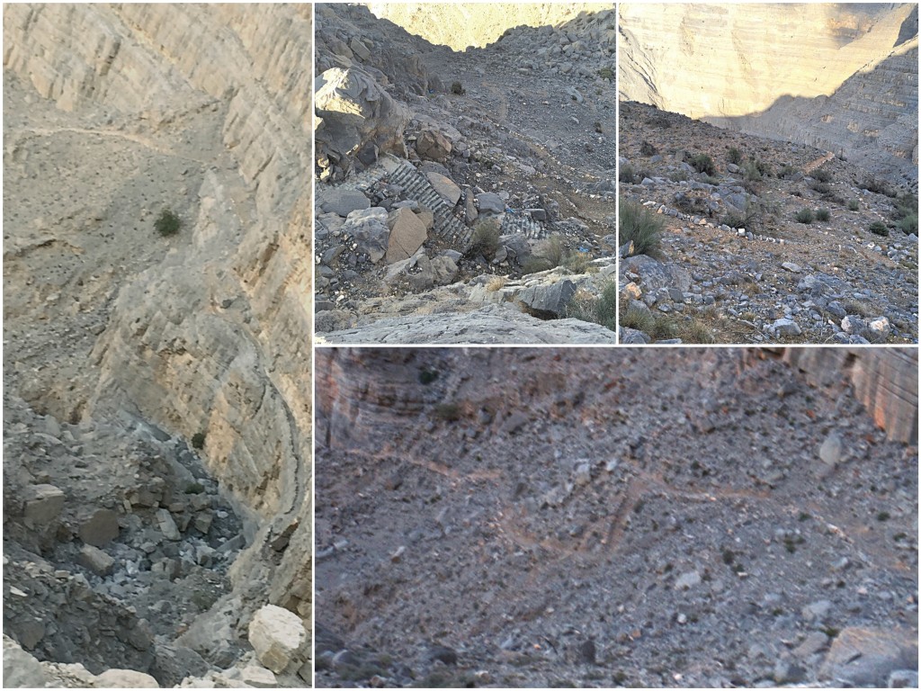
As light broke through the next morning, we were on the move again. The traverse was rather straightforward and a few hours later we found the descent point. The descent made the ascent look like a walk in the park. There was no route, or a path to follow at all! The decent consisted of only loose rocks and boulders staggered on the severe mountainside, making the entire trip down extremely dangerous and tough on our joints. There was nothing special about the descent except few old, deserted houses along the way. We all made it safe back to cars and the adventure ended there.
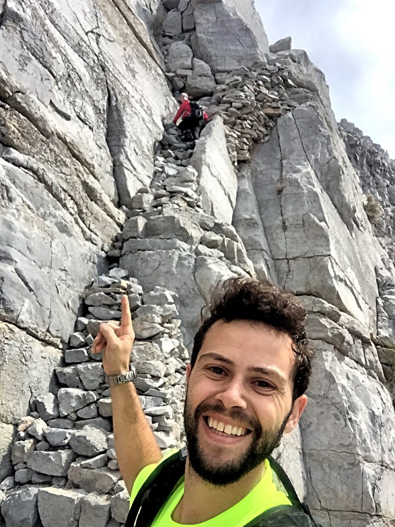
Stairway to heaven hike remained a special hike that was always relatively challenging. No route, no path, untouched and vague – a hike that requires physical fitness, outdoor experience and no fear of heights or exposed edges. Set for those seeking a true adventure!
However when I visited Stairway to Heaven a couple of weeks ago, I discovered the hike has changed remarkably.
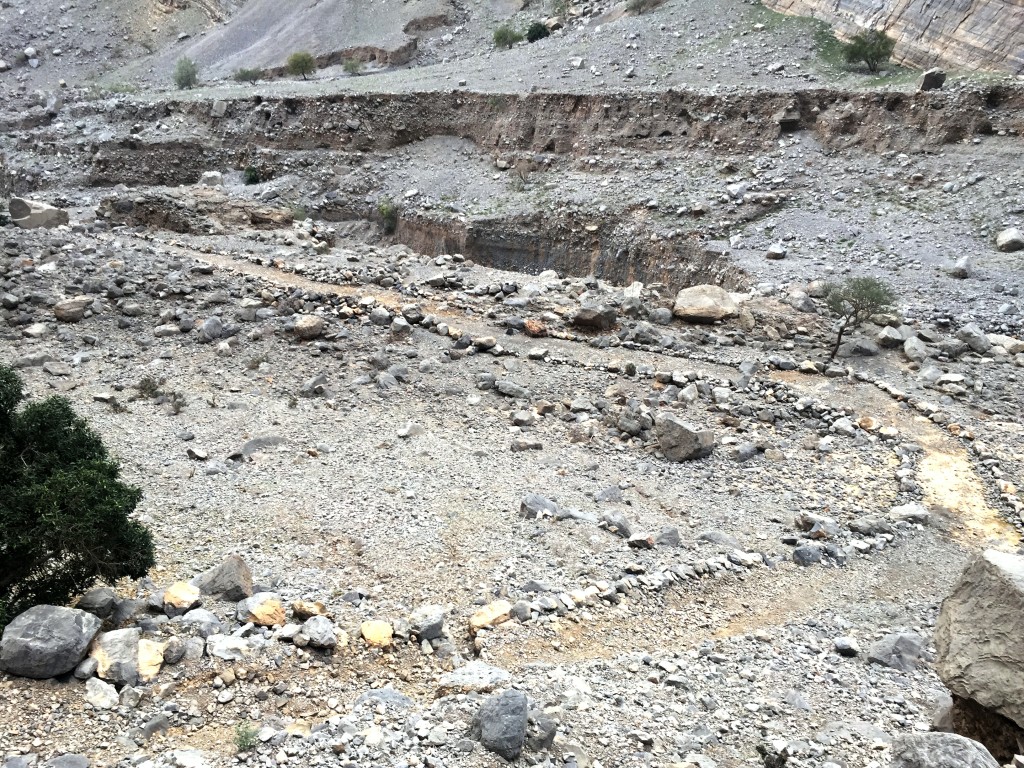
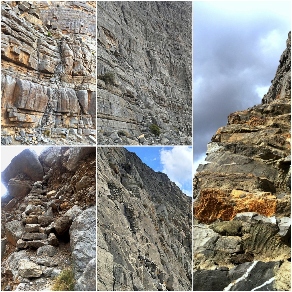
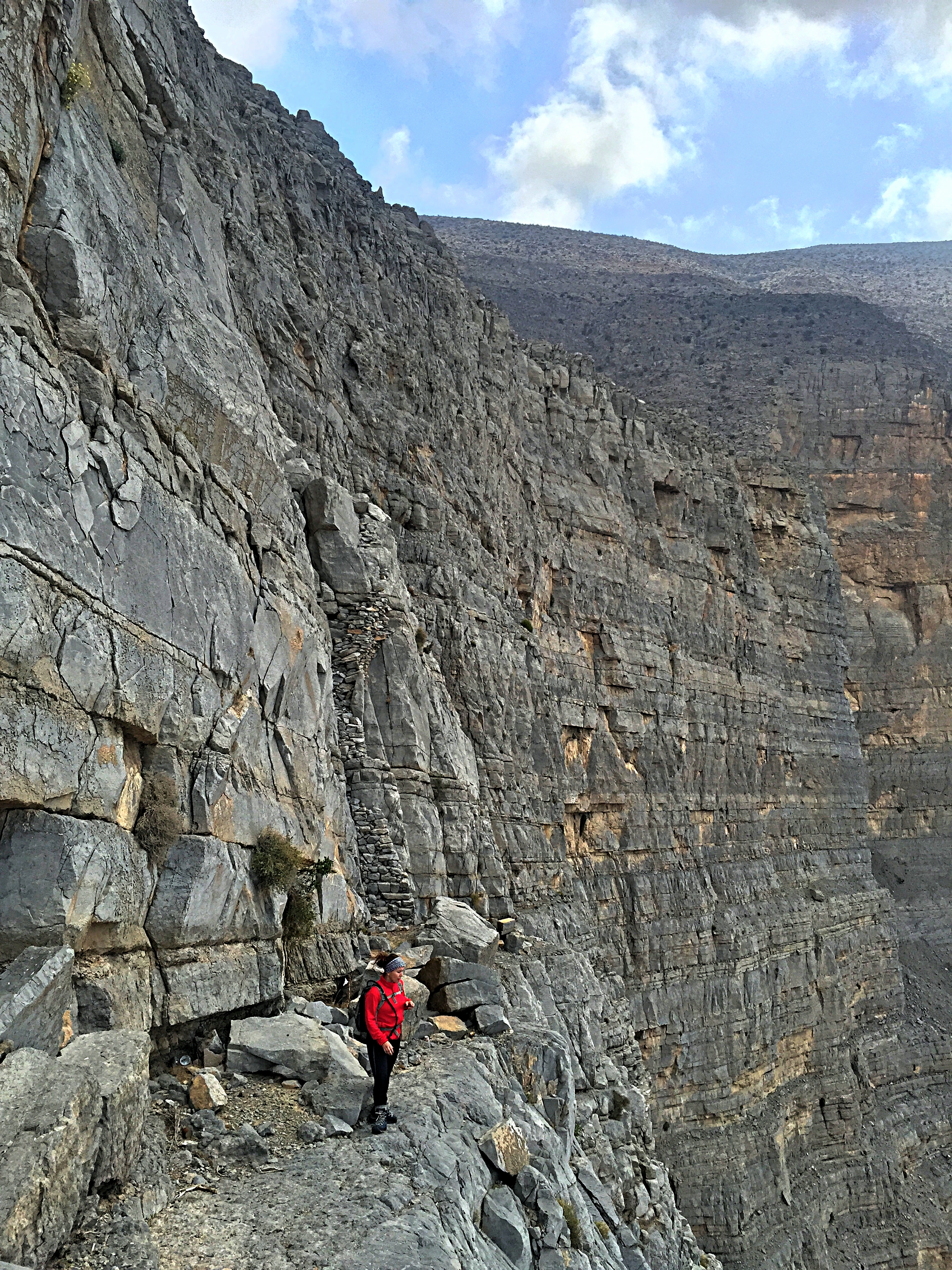
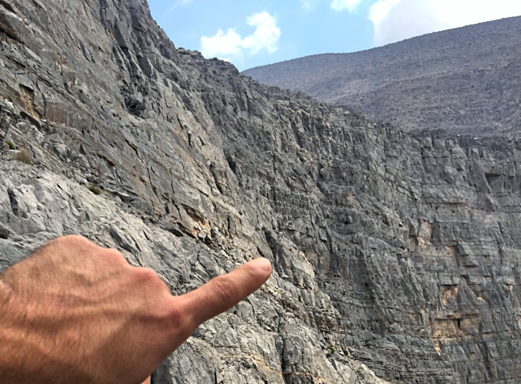
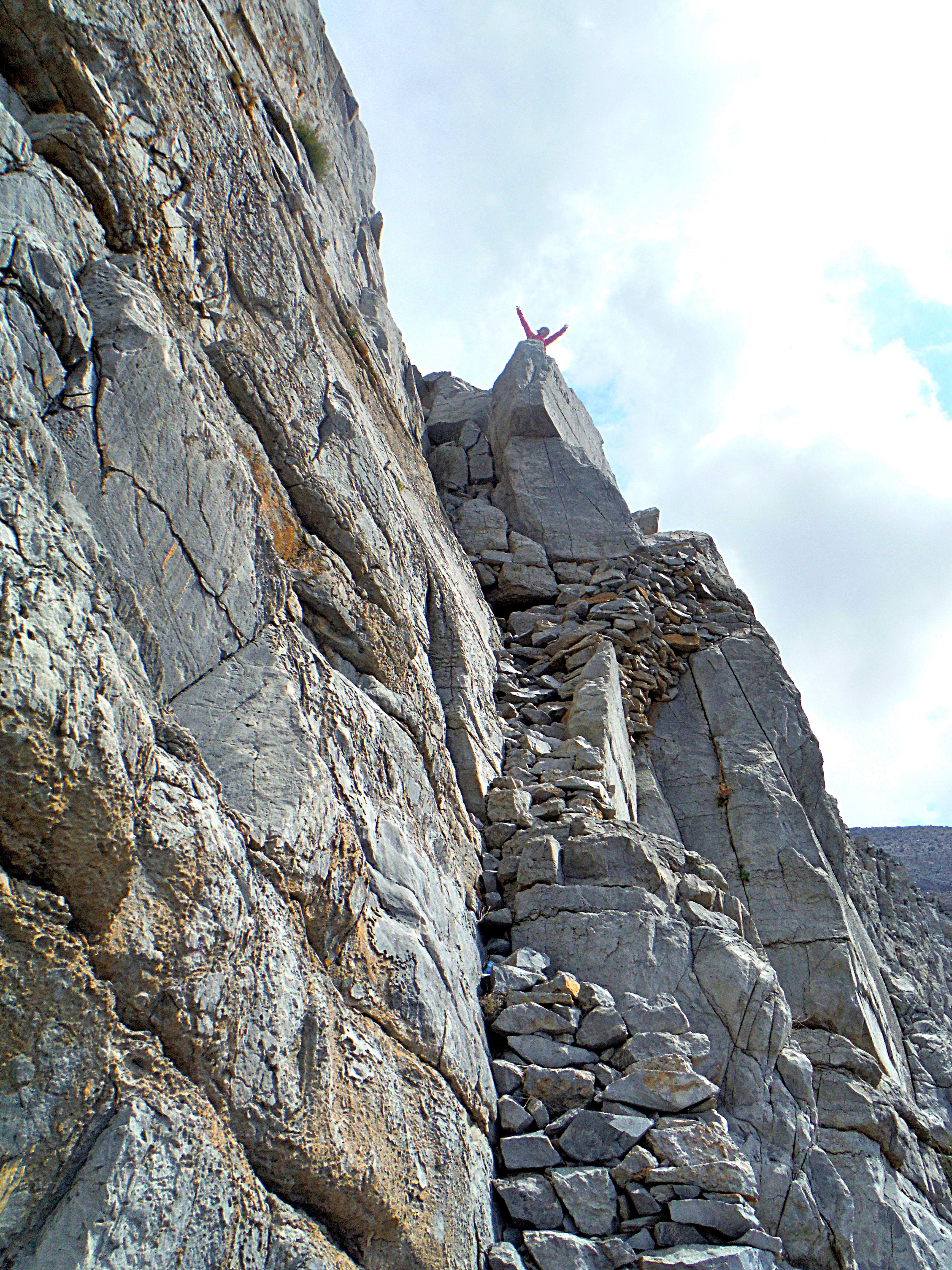
A new path has been built from the parking all the way to the ascent point. From that point, loads of stone cairns have been assembled all the way up to the plateau. These cairns are easily identifiable and will put one at ease knowing they are on the right path. At the same time I found they took away the thrill of route finding and my adrenaline level dropped in this comfort zone.
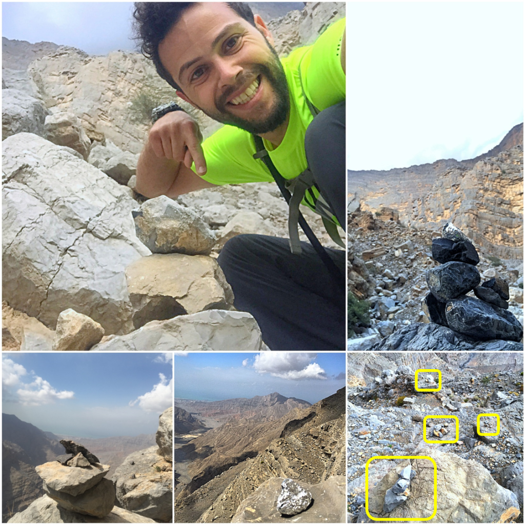
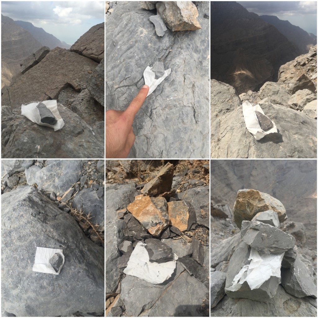
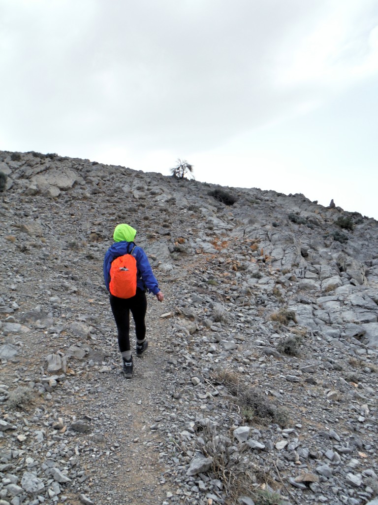
Thanks to the cairns, our ascent was straightforward and not as exciting as I had remembered it to be. On the way up I collected garbage that humans had sadly left behind and had lunch in a sheltered spot just before they last staircase to avoid the wind on the plateau. As we reached the plateau, it started to poor with rain, the temperature level dropped and visibility was to almost zero owing to the thick fog.
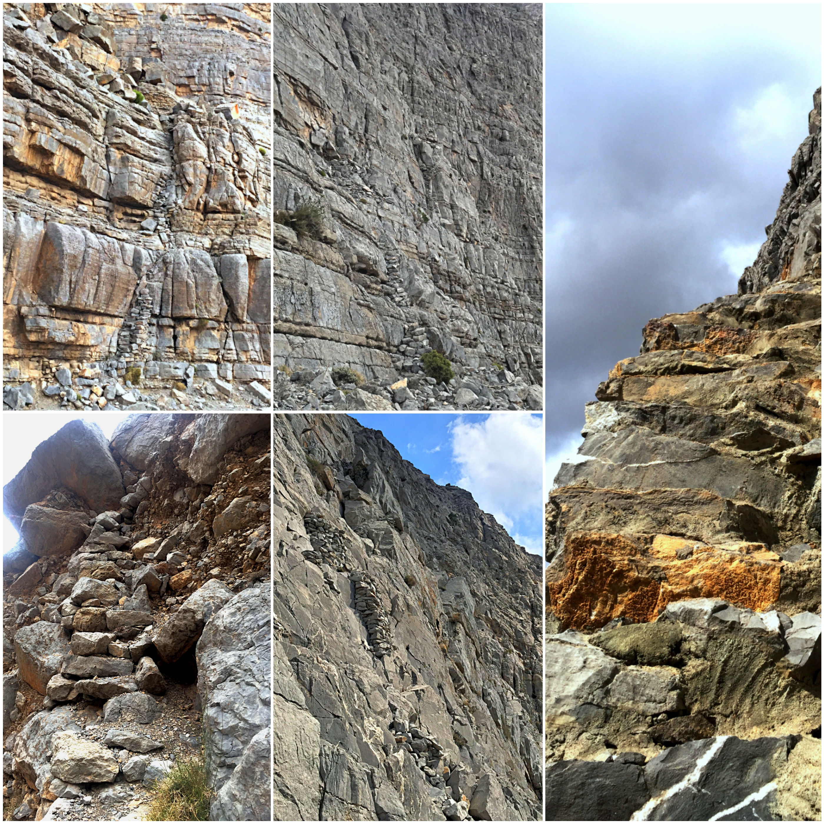
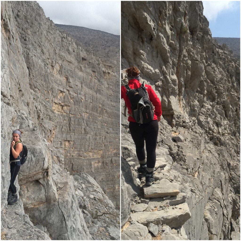
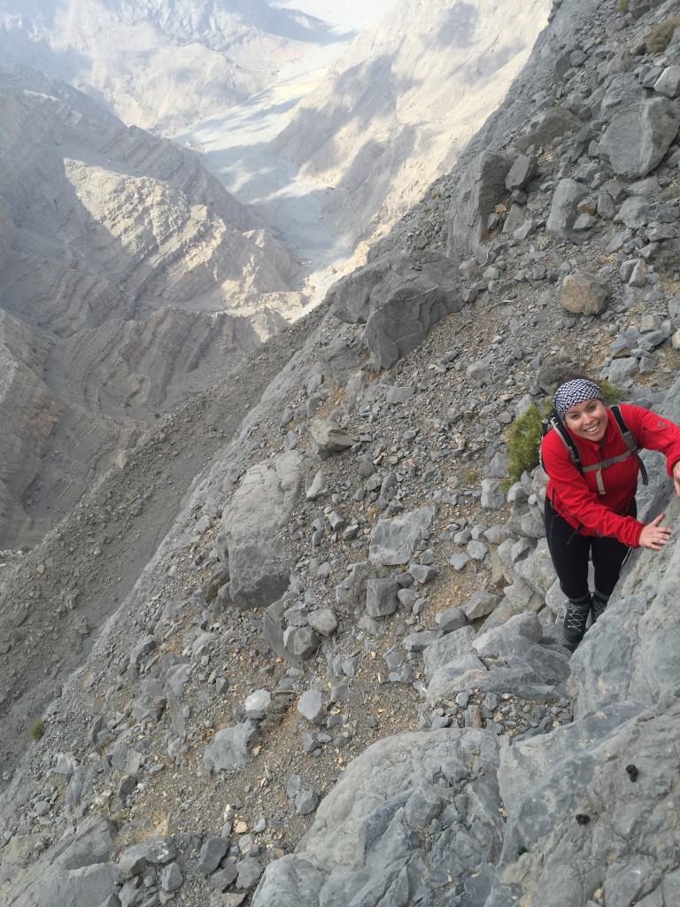
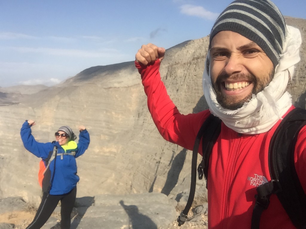
This got our adrenaline levels kicking! We hiked in the rain and poor visibility trying to reach the other side. Things got even more exciting when it started to hail… An hour later, half way across the traverse, the skies cleared and we were blessed to witness amazing colorful sceneries.
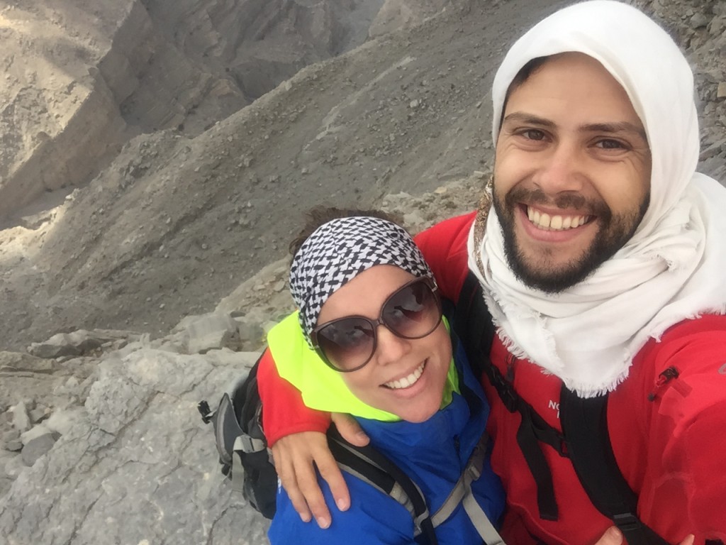
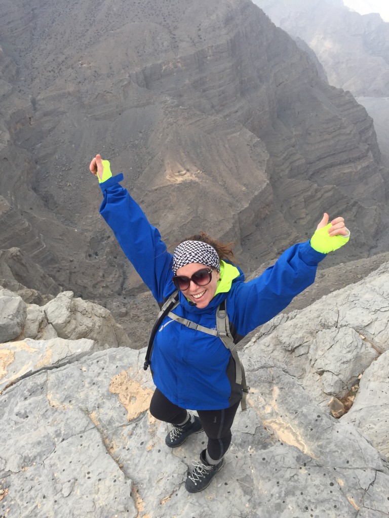
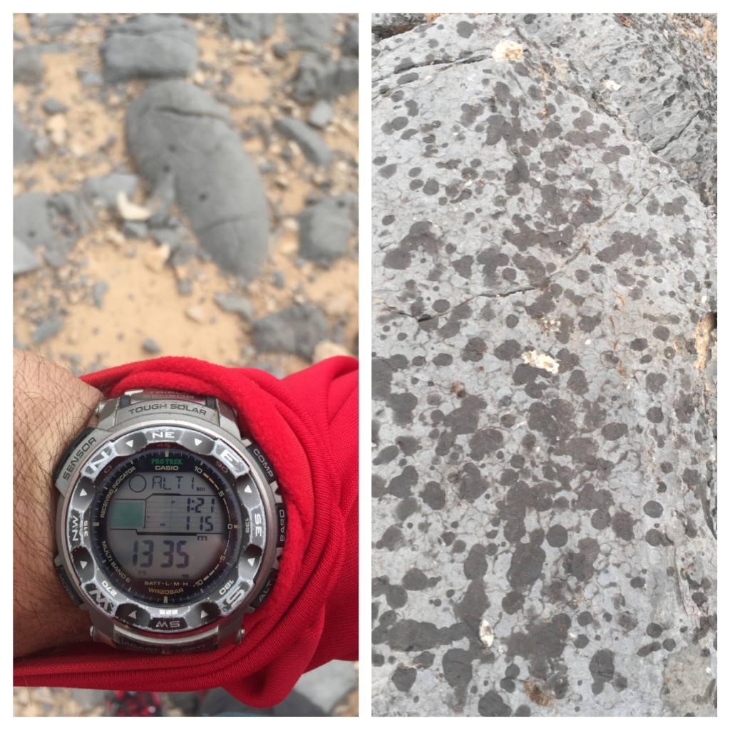

Upon arriving at the decent point we discovered a new path has been cleared, and connects with the path where the accent starts. Although I am not a fan of pathed routes, this new path definitely helps avoid a lot of potential of accidents, and makes it easier for people with less outdoor experience to come and enjoy this beautiful hike and the gorgeous the scenery it offers.
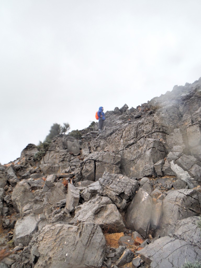
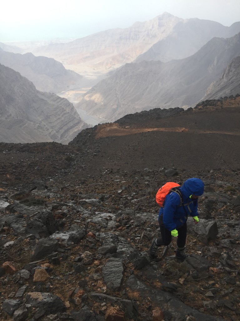
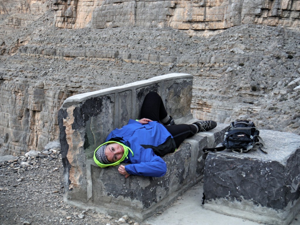
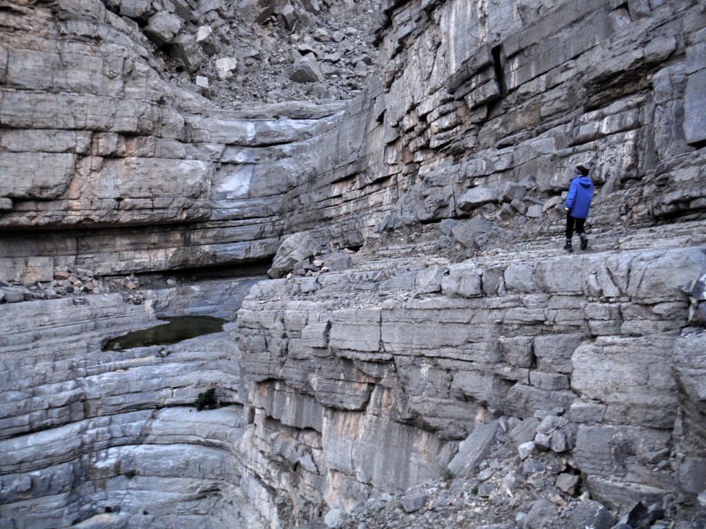
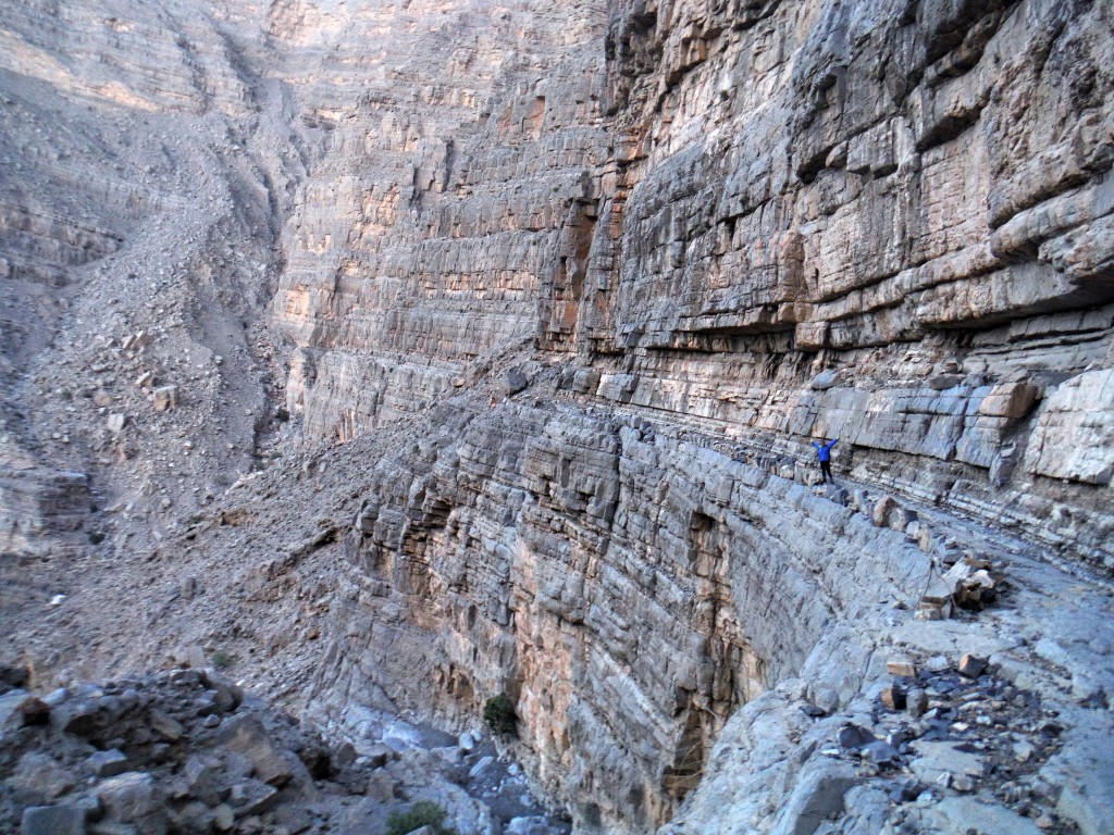
We descended and headed back home, hoping I would get some adventurous compensation during my Rock Climbing trip to Lebanon the following day.
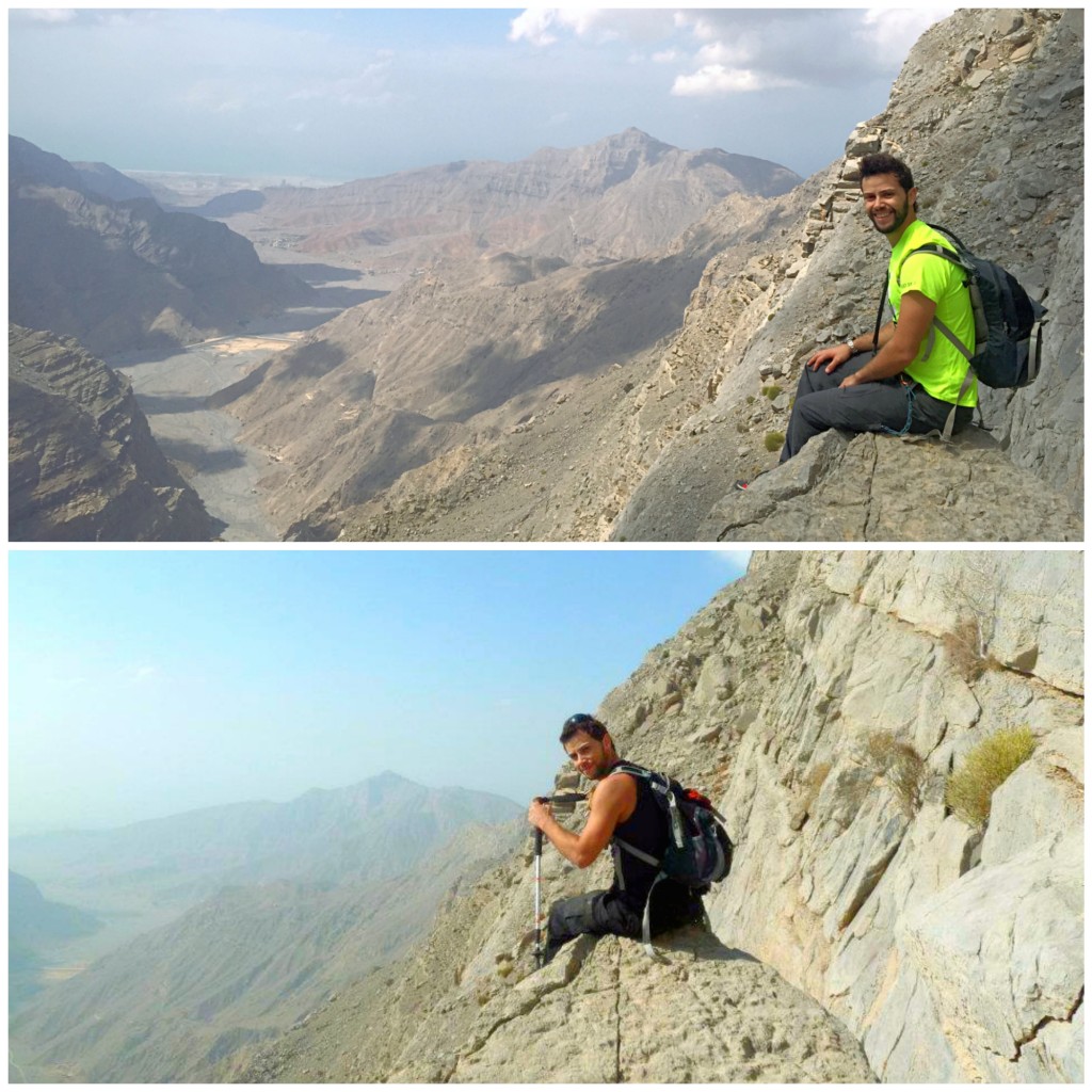
In summary, please do not underestimate Stairway to Heaven hike. Some experienced hikers have faced problems and this hike has witnessed fatalities. As an outdoor person, you should always be prepared and know what you are getting yourself into. Some might find it hard, others might find it easy, regardless of what you think of it: BE SAFE 🙂
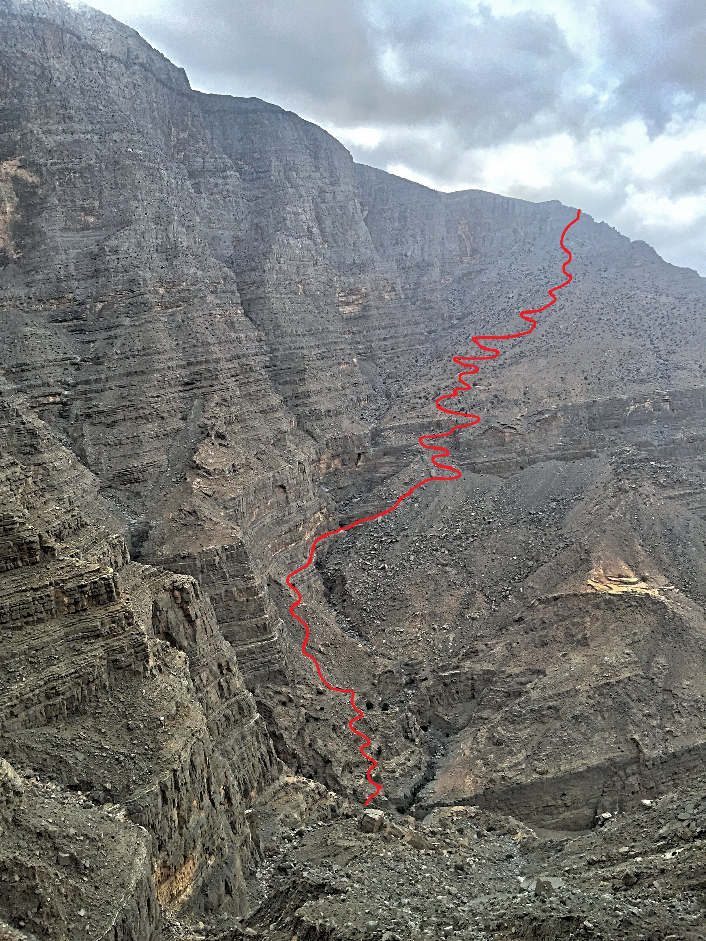
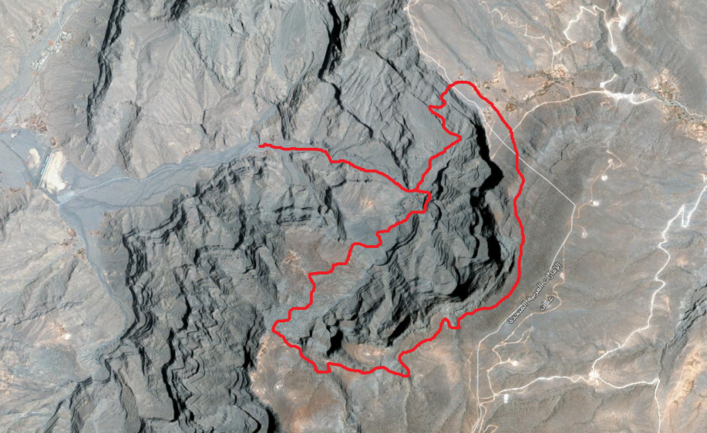
Below is few maps I drew as reference. Please note these map are not 100% accurate:




9 Responses
Fantastic story! I love the tent story part. Really appreciate of what you wrote about this hike which may help other hikers who are planning it. Sadly to know that it’s been littered by humans with some trashes. May your story inspires others and keep the good fitness!
thank you Eva ! i will be writing more about Oman soon as i have spent a lot of time exploring the area.
and yes, sadly almost everywhere i visited that is accessible by humans is polluted.
Thanks for the interesting description of those desolate mountains, but you never mentioned how much they rise above sea level.
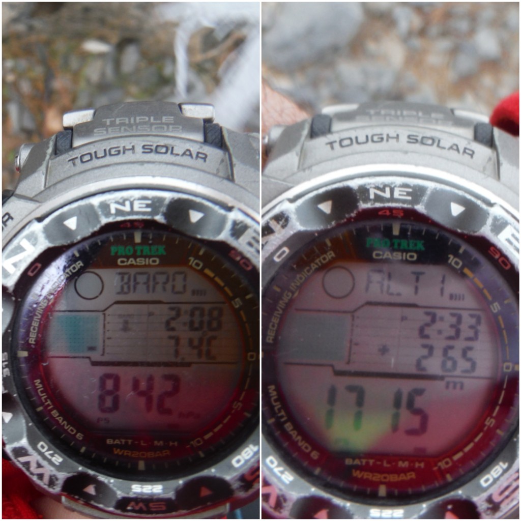
Hello Antoine, thank you for the lovely comment. Yes you are right, i should have wrote about the elevation. The hike starts at about 600m, the highest point is about 1,700m and the plateau is at approximately 1,300.
there is a picture of my watch in within the blog that displays the altitude at the plateau. let me know if you have any other questions 🙂
Can we get gps coordinate for the start and end points
the start and end points are the same since it is a loop around.
and since the abseil is on a wall, it is not easy to use coordinates.
but here are some coordinates that will help you:
Camp: 25°58’55.0″N 56°09’16.6″E
Parking (start of the hike): 25°59’03.7″N 56°10’05.2″E
Ascent point: 25°58’50.1″N 56°10’54.2″E
Resting tree: 25°59’06.6″N 56°11’10.4″E
Top of Stairway: 25°59’23.6″N 56°11’02.6″E
Descent point: 25°58’55.0″N 56°09’16.6″E